Footpaths In Marldon
Footpath – 


Bridleway – 
Unclassified Road – 


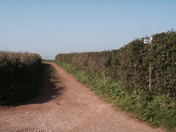
Aptor Lane is a public right of way (Unclassified Road 4) which runs between Aptor Farm (adjacent Higher Orchard Cottage) and Ipplepen Road (opposite the entrance gate to the Torbay and District Radio Flying Club field). The route is approximately 920M long and can be identified by a signpost at either end. The majority of the route slopes down towards Aptor and has an unmade surface which becomes very muddy in bad weather. There are some fine views from the lane out towards southern Dartmoor.
