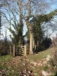
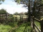
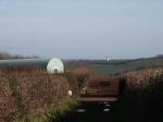
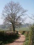
Kiln Lane & Aptor –
the entrance at Strainy Tor which drops down through woodland, one of Marldon’s longest footpaths.
Kiln Lane & Aptor –
the natural beauty of Aptor Valley, still worked by local farmers.
Kiln Lane & Aptor –
the scenic spot of Marldon Tor, along one of the Village’s quietest footpaths.
Kiln Lane & Aptor –
view from the top of Aptor Lane towards Compton, where the Flying Club often take to the sky with their model aircraft.
Kiln Lane & Aptor –
marking the westerly aspect of the Parish is this boundary stone at Aptor, one of four set up to commemorate the new Millennium.
Kiln Lane & Aptor –
the unclassified ‘road’ of Marldon Lane, located near Aptor
Kiln Lane & Aptor –
a view leaving the Parish, out towards Weekaborough.
Kiln Lane & Aptor –
situated at the northern end of the Parish is Aptor Farm, surrounded by agricultural land.
Kiln Lane & Aptor –
this is Aptor Farm Pond, restored by the local farmer and maintained by the locals for wildlife.
Kiln Lane & Aptor –
found bordering many of the Parish paths and Lanes is white Stitchwort, a member of the ‘pink’ Greater Stitchwort family.
Kiln Lane & Aptor –
situated to the west of the Parish is Hazelwood farm, one of the few working farms left in the area.
Kiln Lane & Aptor –
this is Smallwell Lane, one of Marldon’s many quiet green lanes.
Kiln Lane & Aptor –
A view from Kiln Lane showing the Bowling Club across the fields to the west of the Primary School.
Kiln Lane & Aptor –
once a major source of building limestone for the Village, Knackershole Quarry is made up of Aller Quarry (larger) and Knockersknowle Quarry, both now unused.
Kiln Lane & Aptor –
cows gather round a feeding byre just off Farthing Lane.